NASA Mars Odyssey THEMIS Image: Yardangs and Crosshatching
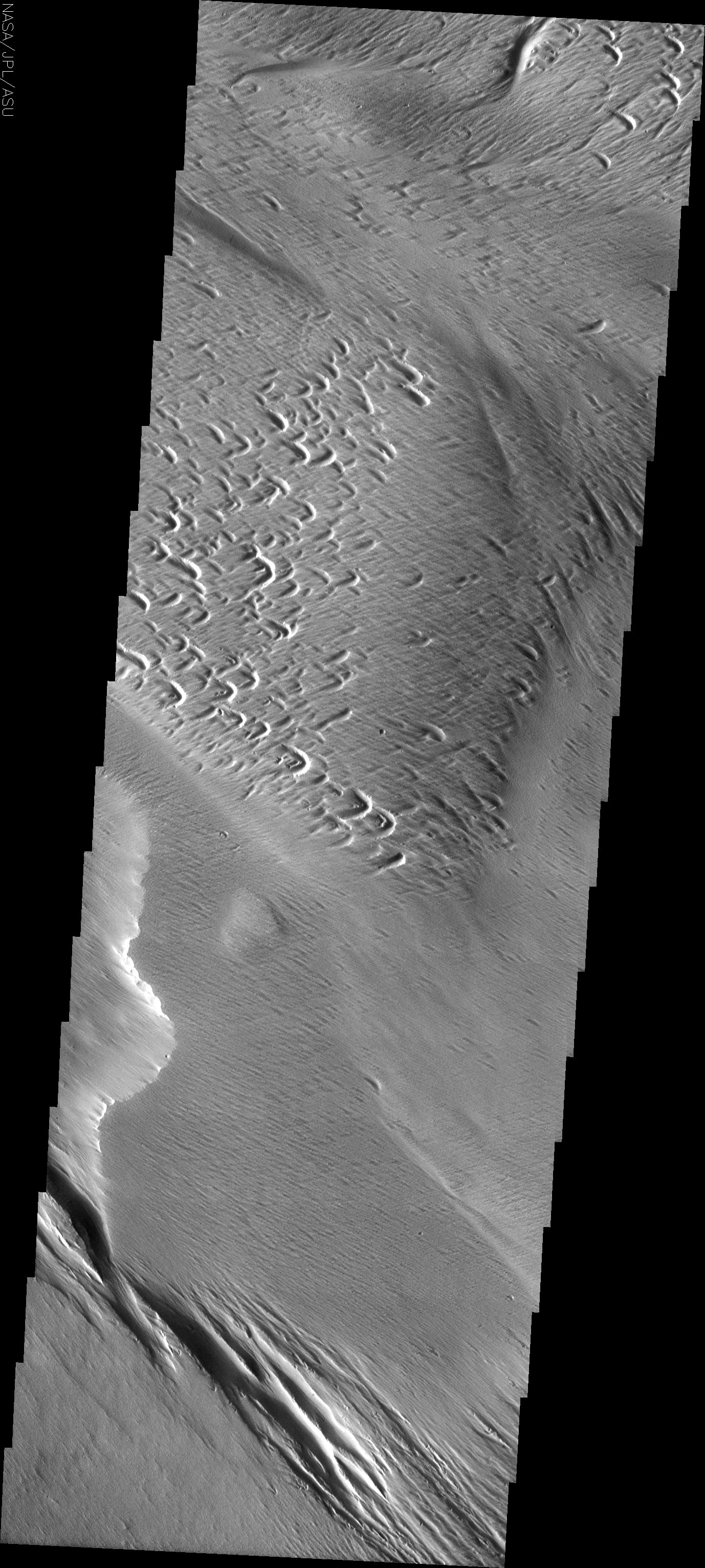
Image Context:  Context image credit: NASA/Mars Orbiter Laser Altimeter (MOLA) Team [ Find on map: Javascript version ] [ Find on map: CGI version ]
The atmosphere of Mars is a dynamic system. Water-ice clouds, fog, and hazes can make imaging the surface from space difficult. Dust storms can grow from local disturbances to global sizes, through which imaging is impossible. Seasonal temperature changes are the usual drivers in cloud and dust storm development and growth. Eons of atmospheric dust storm activity has left its mark on the surface of Mars. Dust carried aloft by the wind has settled out on every available surface; sand dunes have been created and moved by centuries of wind; and the effect of continual sand-blasting has modified many regions of Mars, creating yardangs and other unusual surface forms.
At the bottom of today’s image are typical yardangs. | ||||||||||||||||||||
Note: this THEMIS visual image has not been radiometrically nor geometrically calibrated for this preliminary release. An empirical correction has been performed to remove instrumental effects. A linear shift has been applied in the cross-track and down-track direction to approximate spacecraft and planetary motion. Fully calibrated and geometrically projected images will be released through the Planetary Data System in accordance with Project policies at a later time.
Image Credit: NASA/JPL/Arizona State University | ||||||||||||||||||||
| [ Show Full-Size Image (GIF) ] [ Show Full-Size Image (JPG) ] | ||||||||||||||||||||
| [ Show Full-Size Image (PNG) ] [ Show Full-Size Image (TIF) ] | ||||||||||||||||||||
| [ Printer-friendly version ] |


