NASA Mars Odyssey THEMIS Image: The Naming of Things: Tartarus Montes
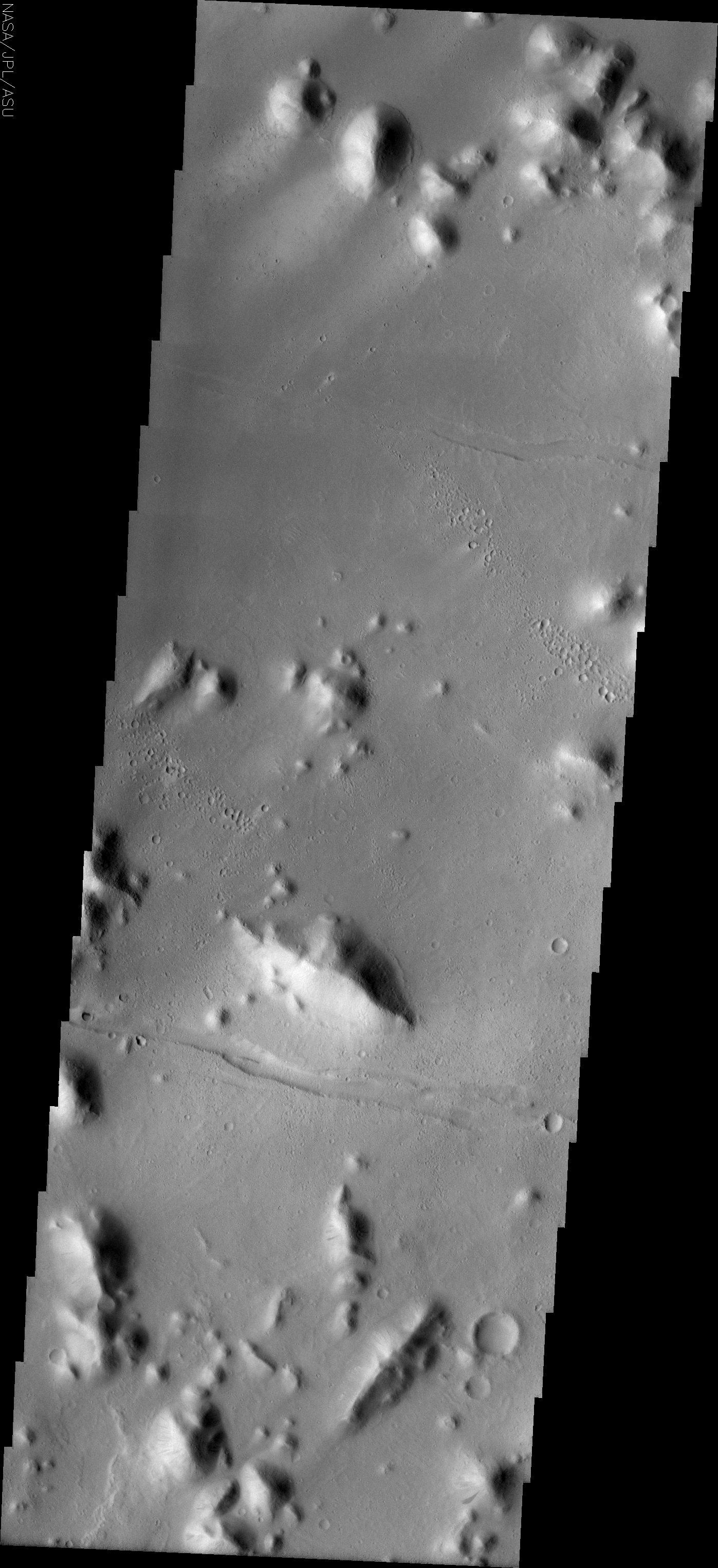 Image Context:  Context image credit: NASA/Mars Orbiter Laser Altimeter (MOLA) Team [ Find on map: Javascript version ] [ Find on map: CGI version ]
Full data on this image has now been released via the THEMIS Data Releases website. On Earth, landforms like rivers and mountains are given names. The names identify a specfic location and also tell the type of landform; for example: Mount Everest, the Amazon River, the Pacific Ocean. Landforms on other planets and large moons of our solar system are also given names that denote the type of feature and the individual location. It is much easier to discuss the largest volcano in our solar system by using its name (Olympus Mons) rather than its map coordinates (Mars, 32N latitude, 135W longitude). There are strict rules and conventions for assigning landform names to solar system bodies. The International Astronomical Union (IAU) is in charge of approving or disapproving submitted names. The online directory of all (non-Earth) planetary names is located at http://planetarynames.wr.usgs.gov. The directory contains information on feature descriptors (Mons = mountain) and categories of names for feature types (valleys on Mars are named for the word “mars” in different languages). The list of descriptor terms can be found at http://planetarynames.wr.usgs.gov/append5.html. Mythologies of different cultures are often used in selecting names; names on Mars are primarily from Greek/Roman mythology, while names on Callisto (a large moon of Jupiter) are from Norse mythology. As new data is collected for a planetary body, old names may undergo change. Location names like Olympus are retained, although the lat/long location may be shifted. The usual change is in the descriptor type. Better images may show that a different descriptor gives more accurate information about the landform type; for example, what previously looked like a featureless plain (planitia) in higher resolution is shown to be a huge set of lava flows (fluctus). The THEMIS images shown here will illustrate how some Mars names may need to be updated, while others are still very accurate descriptors of the landforms. Tartarus Montes
The small hills and ridges in this VIS image are the montes of the Tartarus region of Mars. Nomenclature Fact of the Day: Planetary nomenclature is international in scope; names are chosen from countries and cultures from all over the world, and they are evaluated by international groups of experts before they are approved by the IAU. [Source: ASU THEMIS Science Team] Note: this THEMIS visual image has not been radiometrically nor geometrically calibrated for this preliminary release. An empirical correction has been performed to remove instrumental effects. A linear shift has been applied in the cross-track and down-track direction to approximate spacecraft and planetary motion. Fully calibrated and geometrically projected images will be released through the Planetary Data System in accordance with Project policies at a later time.
Image Credit: NASA/JPL/Arizona State University | ||||||||||||||||||||
| [ Show Full-Size Image (GIF) ] [ Show Full-Size Image (JPG) ] | ||||||||||||||||||||
| [ Show Full-Size Image (PNG) ] [ Show Full-Size Image (TIF) ] | ||||||||||||||||||||
| [ Printer-friendly version ] | ||||||||||||||||||||


| ||||||||||||||||||||


