Images and Video From Space: Tornadoes Sweep Across Midwest and Appalachian Mountains
Severe thunderstorms and tornadoes swept across the Midwest and Appalachians on March 2, 2012. According to CNN, at least 36 people were killed, with the majority of the victims in Indiana and Kentucky. On the Weather Underground blog, meterologist Jeff Masters described the outbreak as a result of warm, wet air from the Gulf of Mexico mixing with cold, dry air aloft.
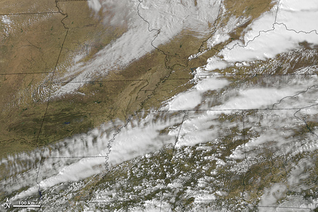
This animation is a combination of thermal infrared (heat) and visible imagery from the Geostationary Operational Environmental Satellite-East (GOES-East), and a color map from the Moderate Resolution Imaging Spectroradiometer (MODIS). The animation begins at 12:01 a.m. EST (0501 UTC) March 2 , and continues until 12:01 EST (0501 UTC) March 3.
References
– CNN. (2012, March 3). Rescuers scour for survivors after string of killer storms. Accessed March 3, 2012.
– Masters, Jeff. (2012, March 3). High risk of a major tornado outbreak today; 13 dead from Leap Day outbreak. Accessed March 3, 2012.
Images by Marit Jentoft-Nilsen, NOAA-NASA GOES Project. Animation and caption by Robert Simmon. Instrument: GOES


